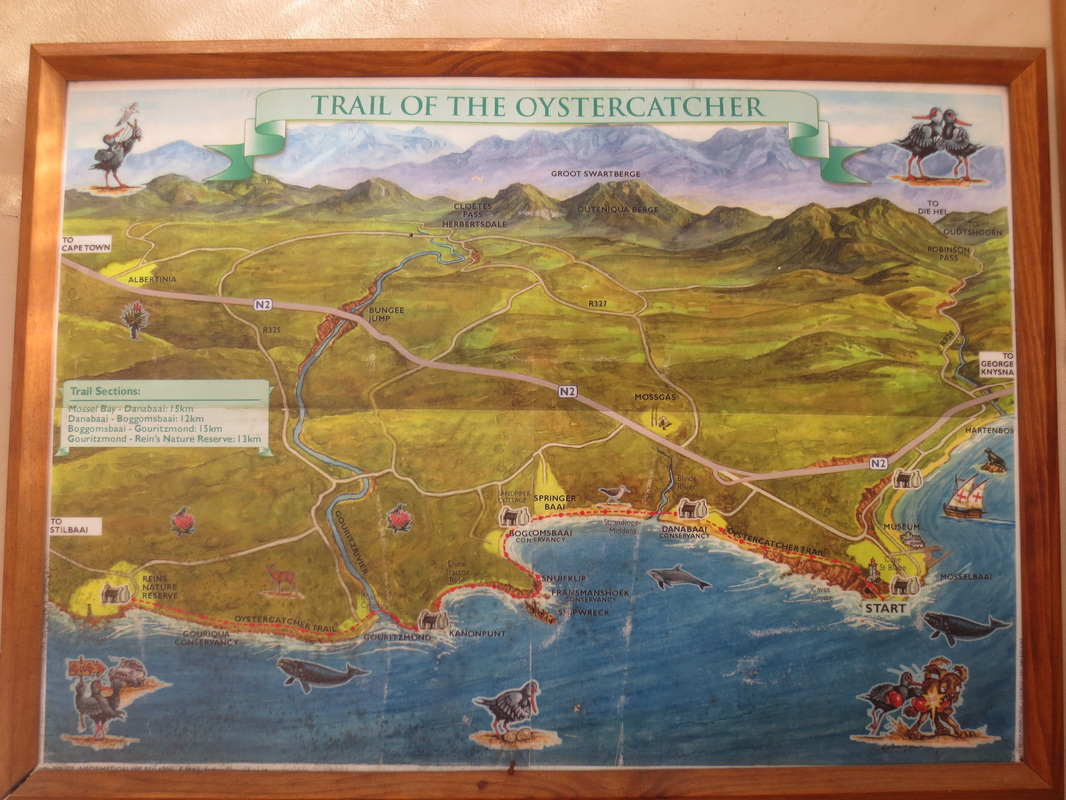
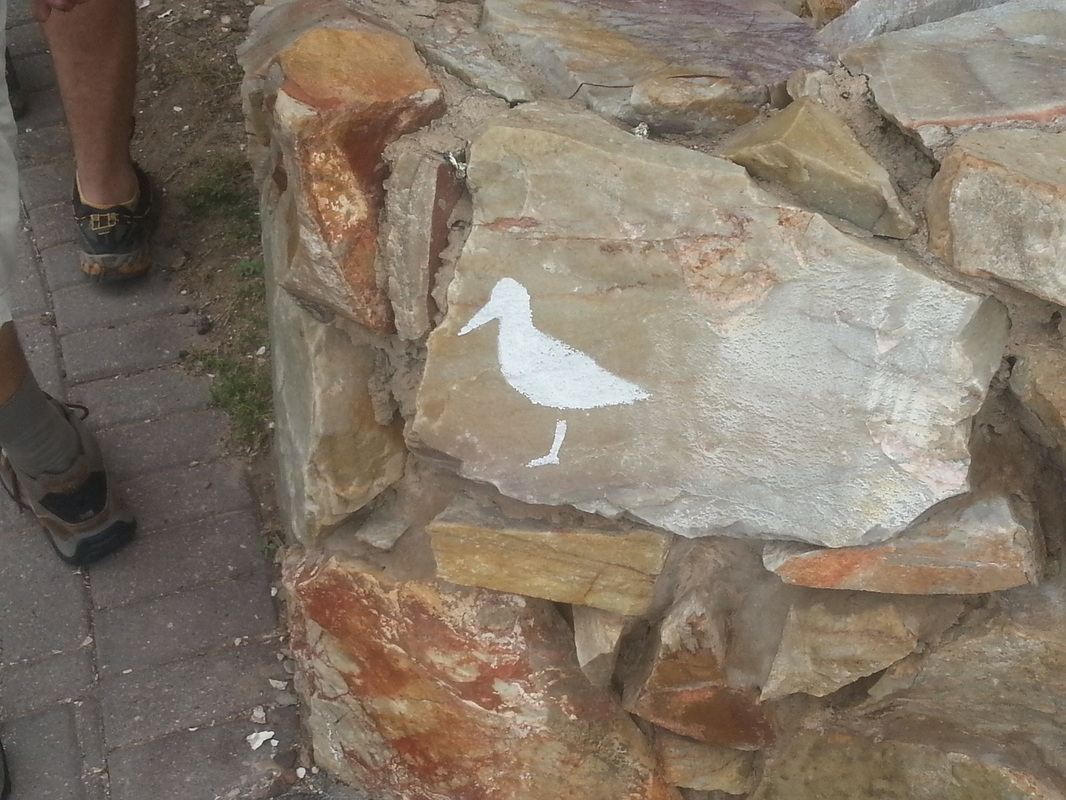
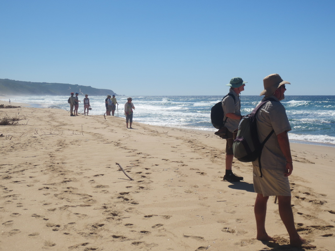
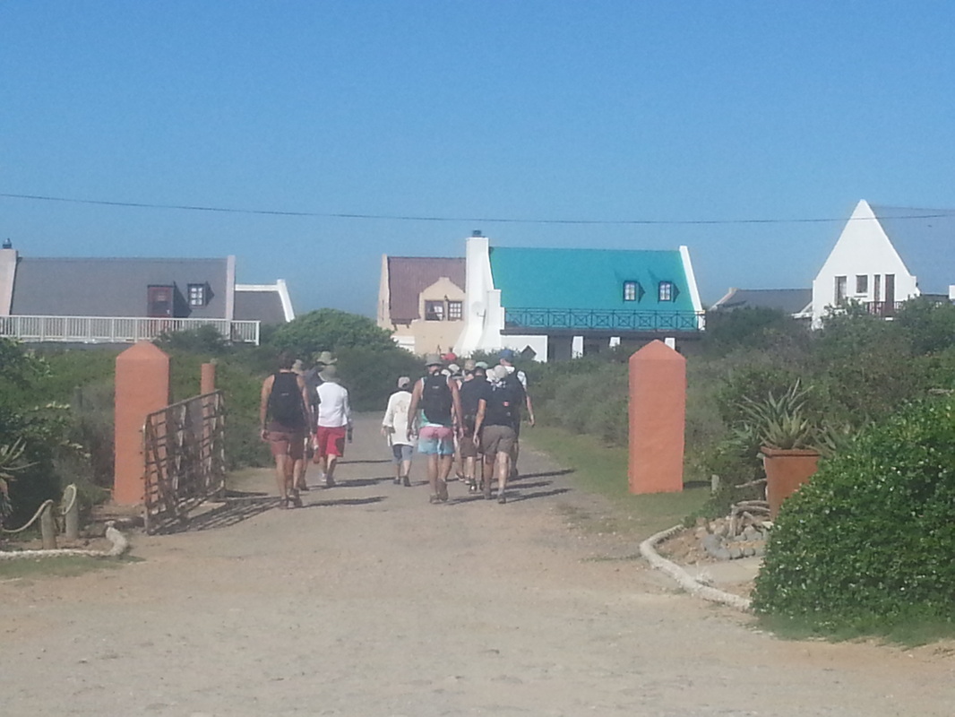
After attending a talk and archaeological tour of the Pinnacle Point caves last week, we were lucky enough to squeeze into a couple of open slots on Fred Orban's renowned Oystercatcher Trail which starts just down the road at Mossel Bay. We joined 9 others (a group of 5 and two other couples) who were doing the slack pack trail, and with apologies to my Xhosa friends, we just "clicked" - it really was a great group and a great hike.
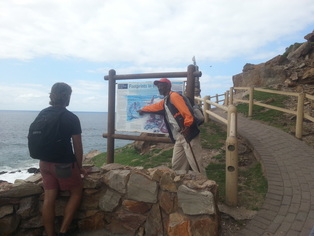
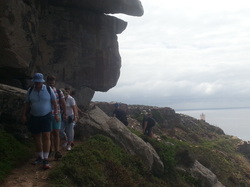
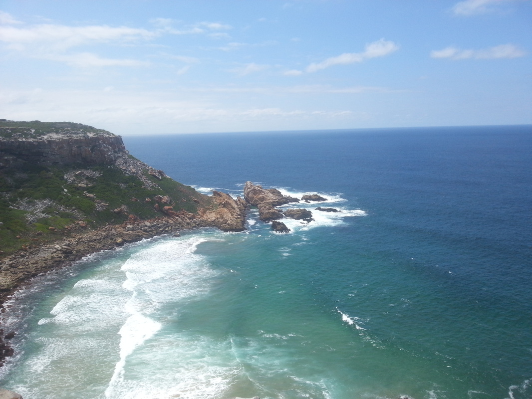
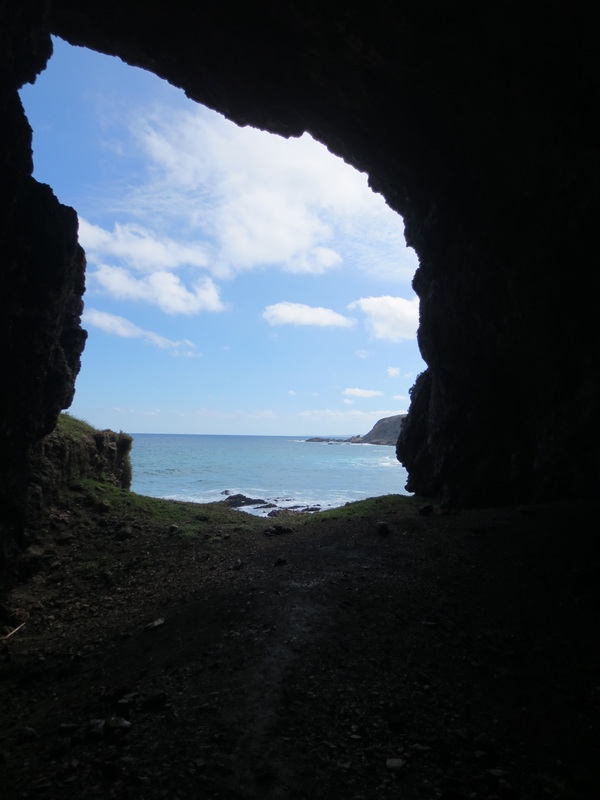
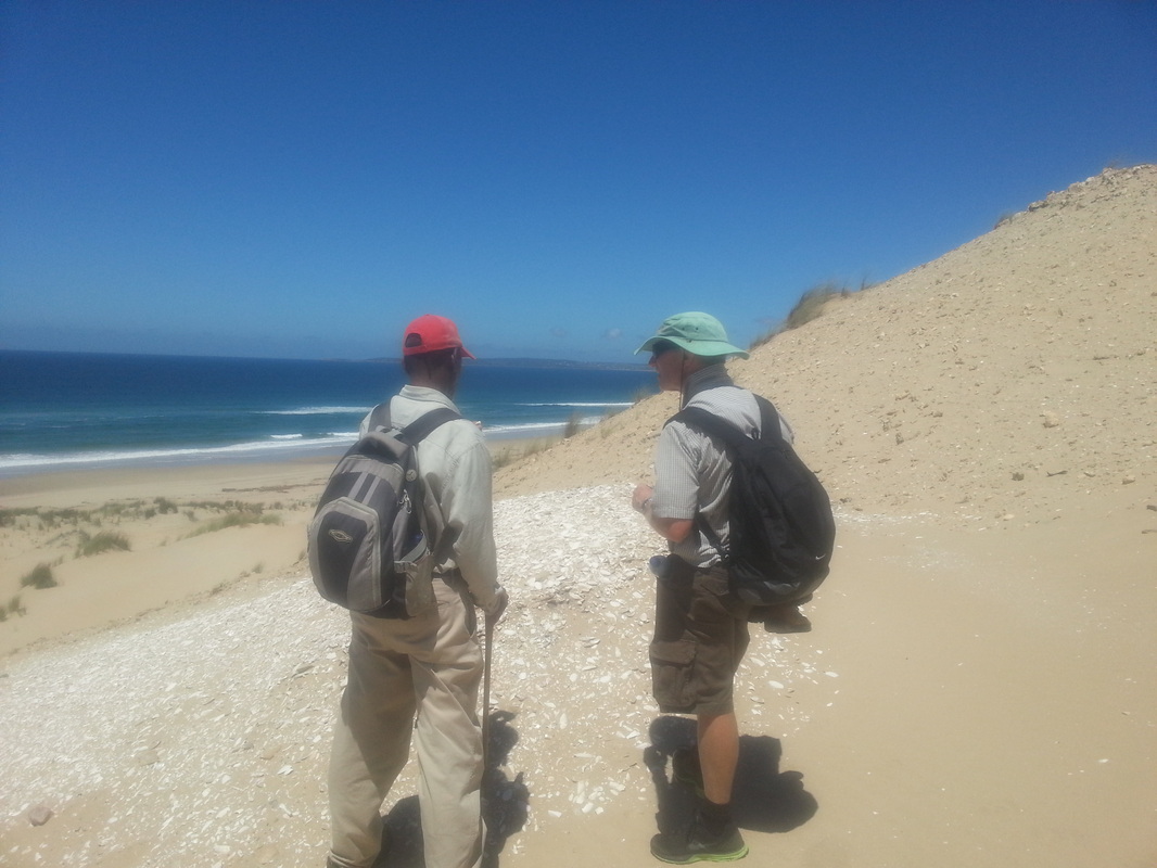
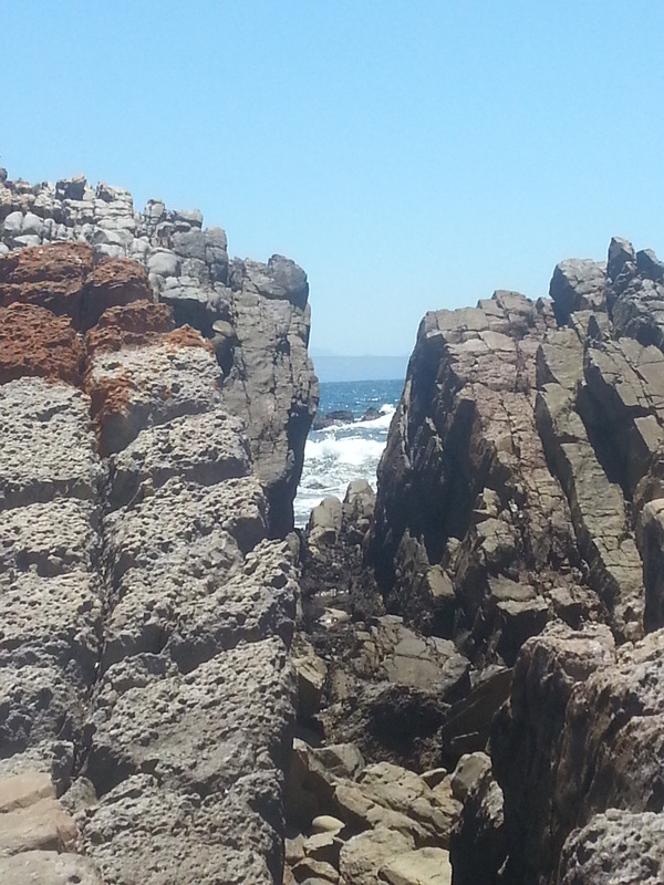
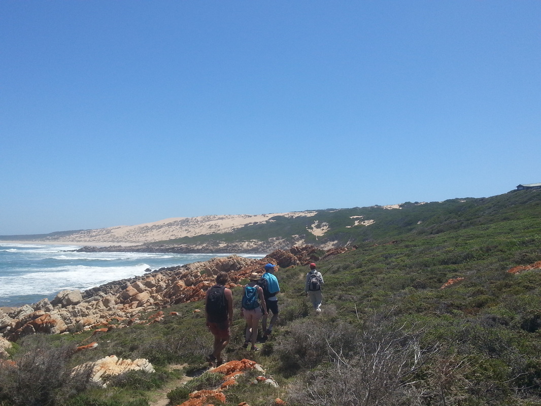
We were led by the famous Xhosa guide Willie Komani who was assisted by South Cape Rangers' Chris Carr. We were a bit slow on the first day, so unfortunately, we didn't quite reach the planned end-point at Dana Bay. Instead, we stopped about 4 km short at Pinnacle Point (some of us scrambled down to one of the caves below with Willie - don't worry, it wasn't one of the caves currently under archaeological examination).
We were led by the famous Xhosa guide Willie Komani who was assisted by South Cape Rangers' Chris Carr. We were a bit slow on the first day, so unfortunately, we didn't quite reach the planned end-point at Dana Bay. Instead, we stopped about 4 km short at Pinnacle Point (some of us scrambled down to one of the caves below with Willie - don't worry, it wasn't one of the caves currently under archaeological examination).
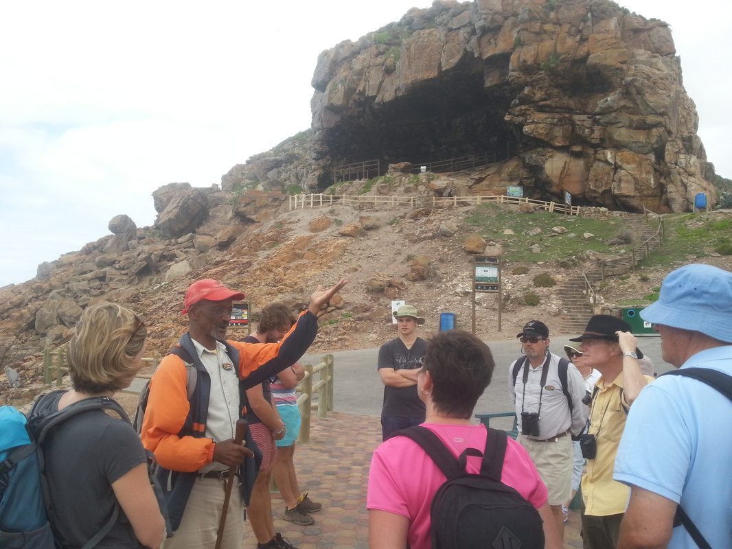
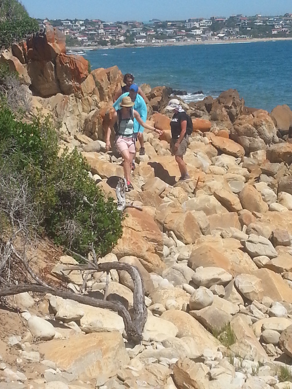
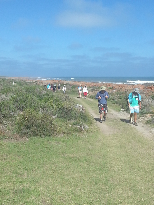
Our guides Willie Komani (with the red cap & walking stick) and Chris Carr (3rd from the right with the binoculars & baseball cap)
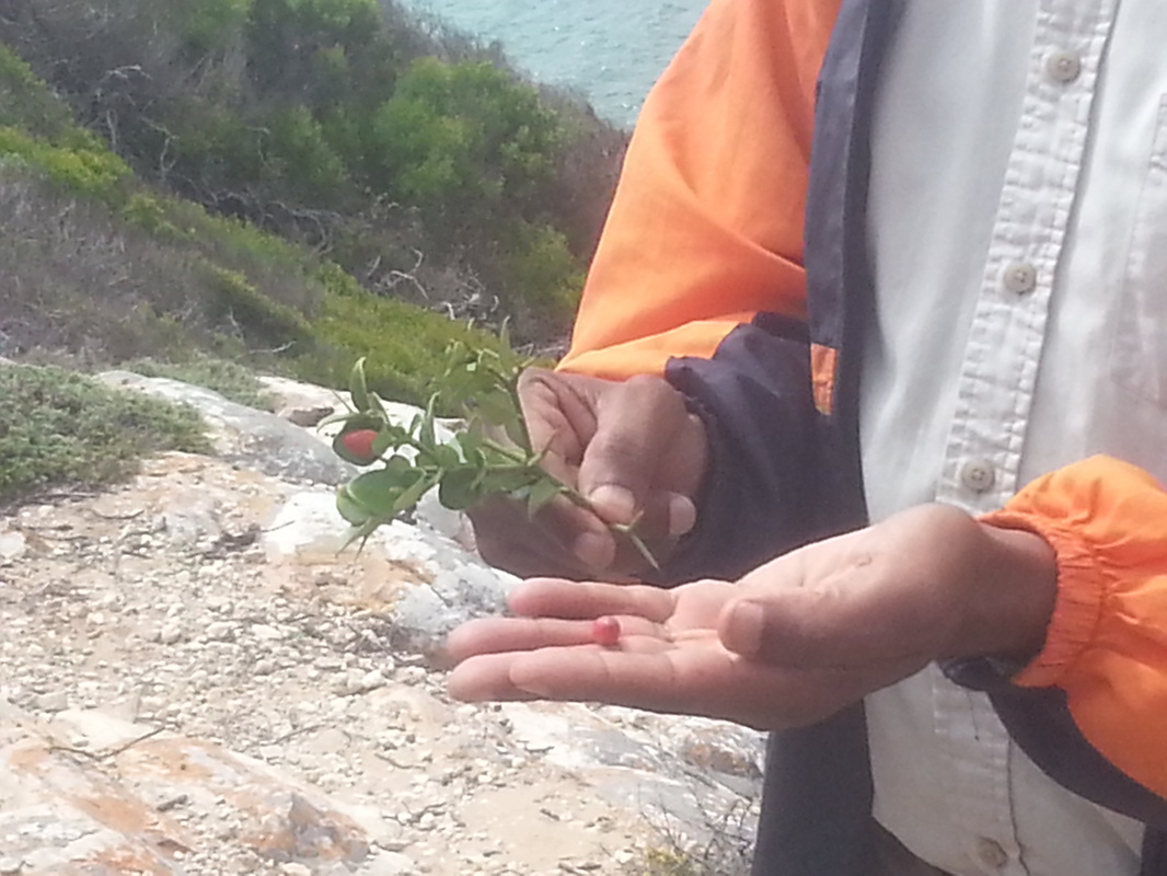
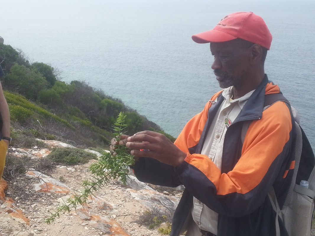
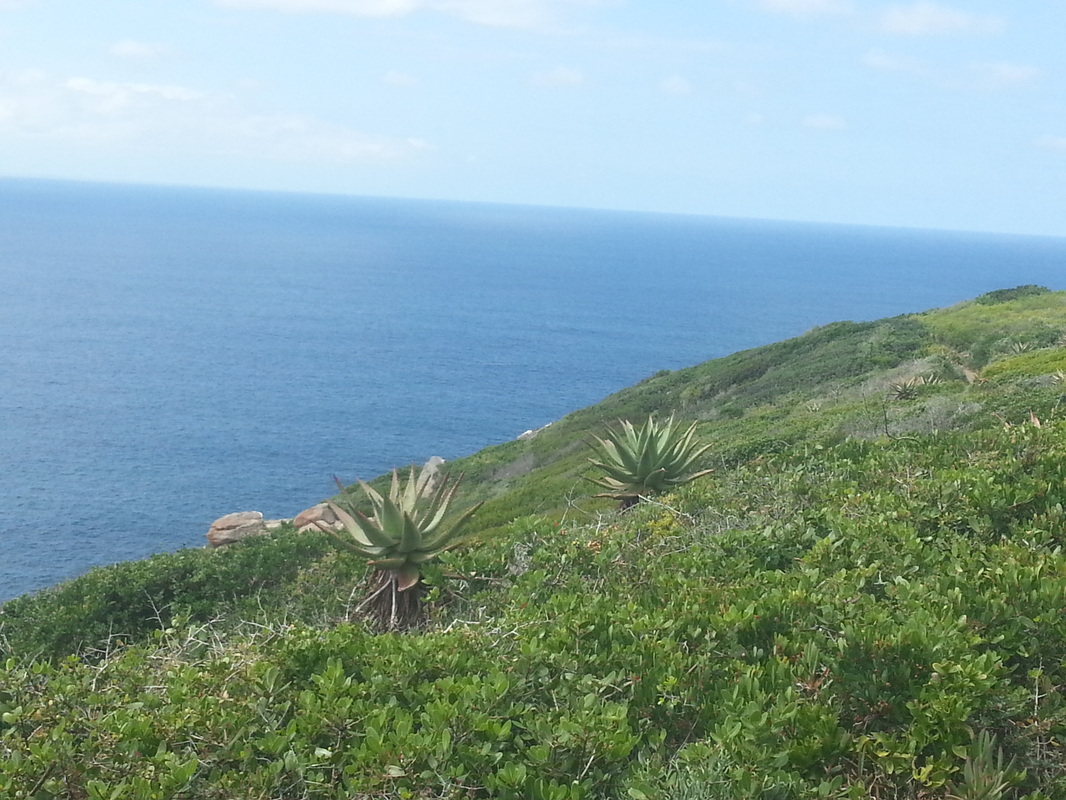
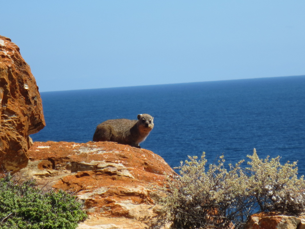
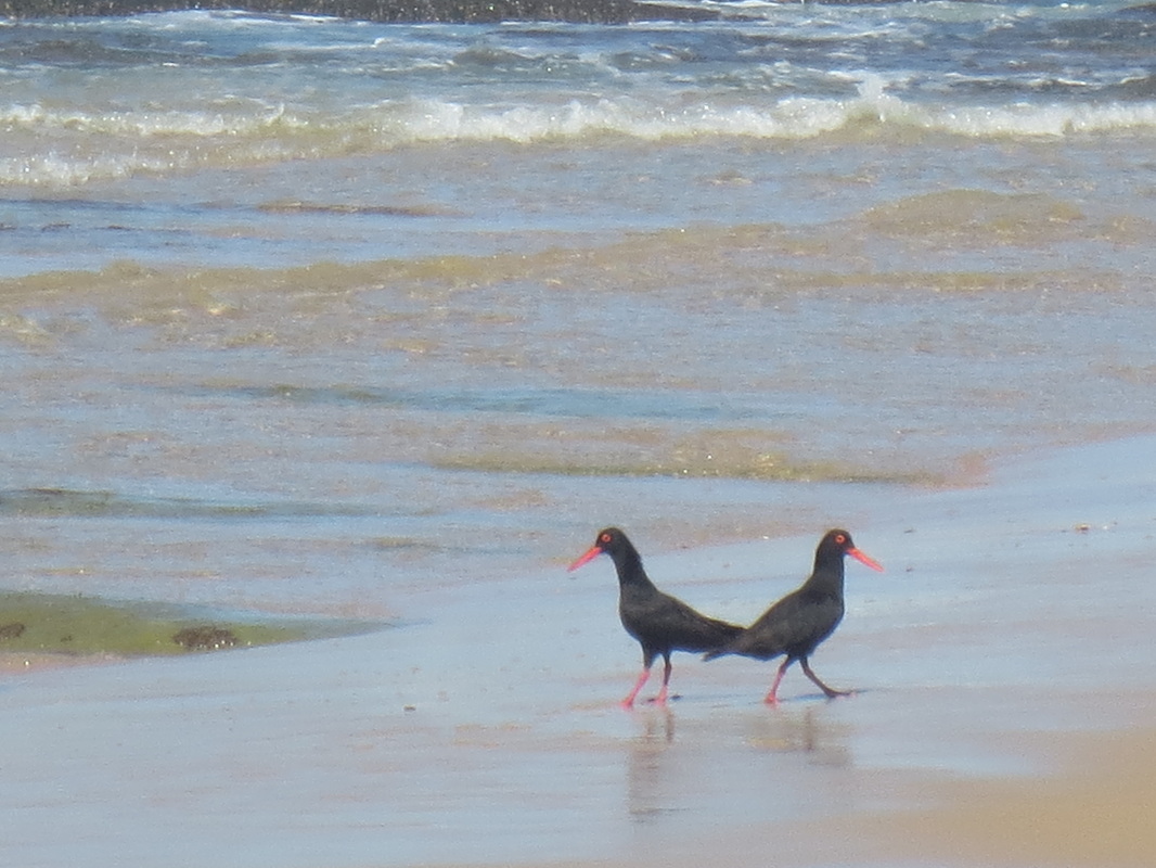
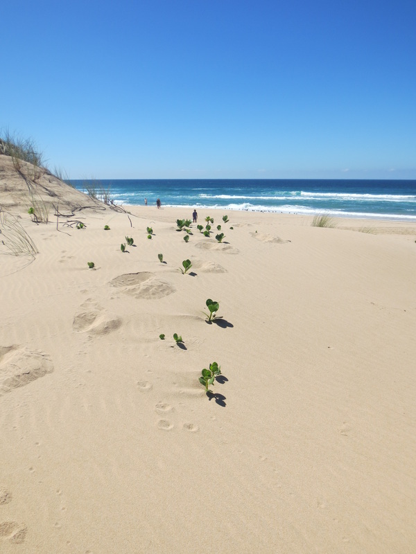
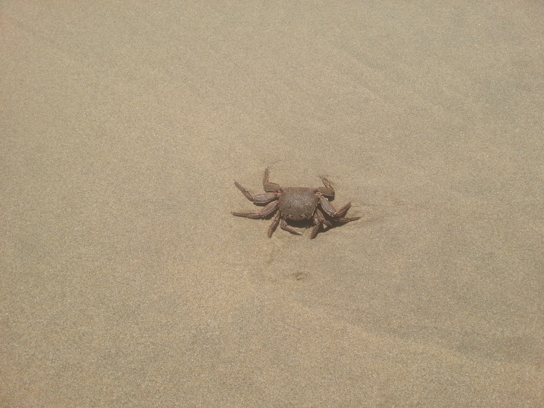
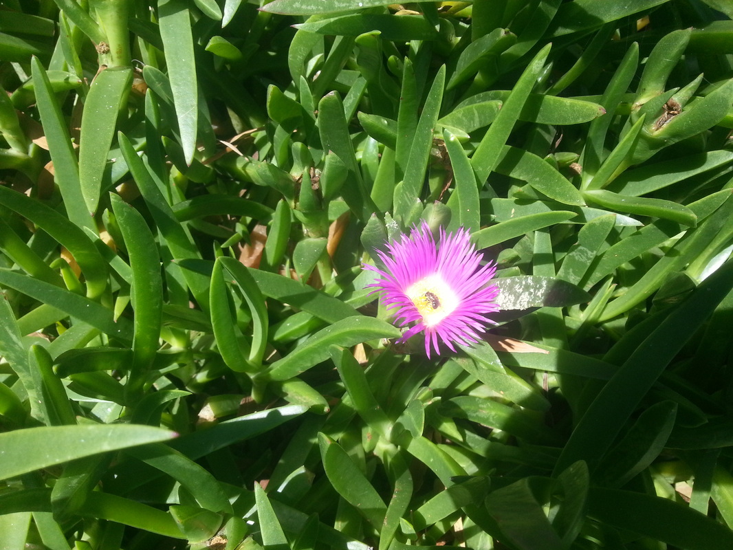
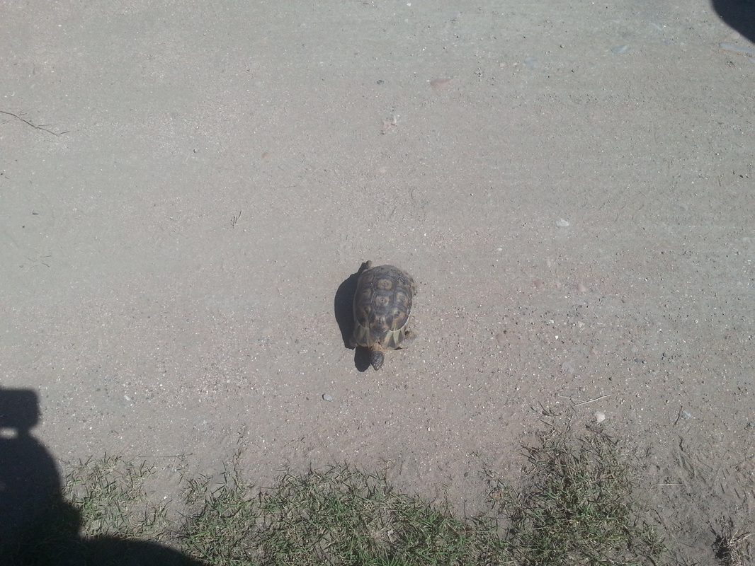
We saw all kinds of wildlife - oystercatchers (of course - including a couple of chicks and eggs), terns, gulls, fiscal shrikes, sunbirds, swallows (forecasting good weather as they sat in a row on the telephone line), cormorants, as well as dassies, tortoises, a couple of snakes, bats, lizards, skinks, agamas and numerous plants which Willie had a million-and-one uses for....
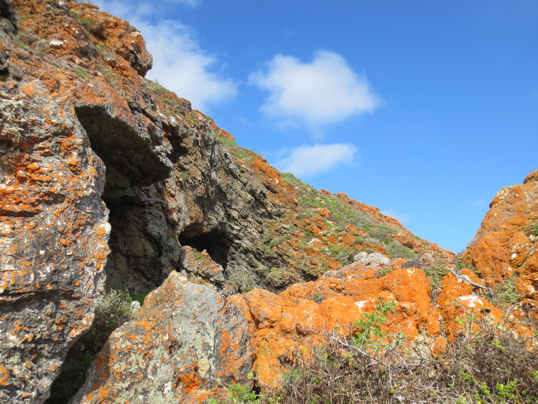
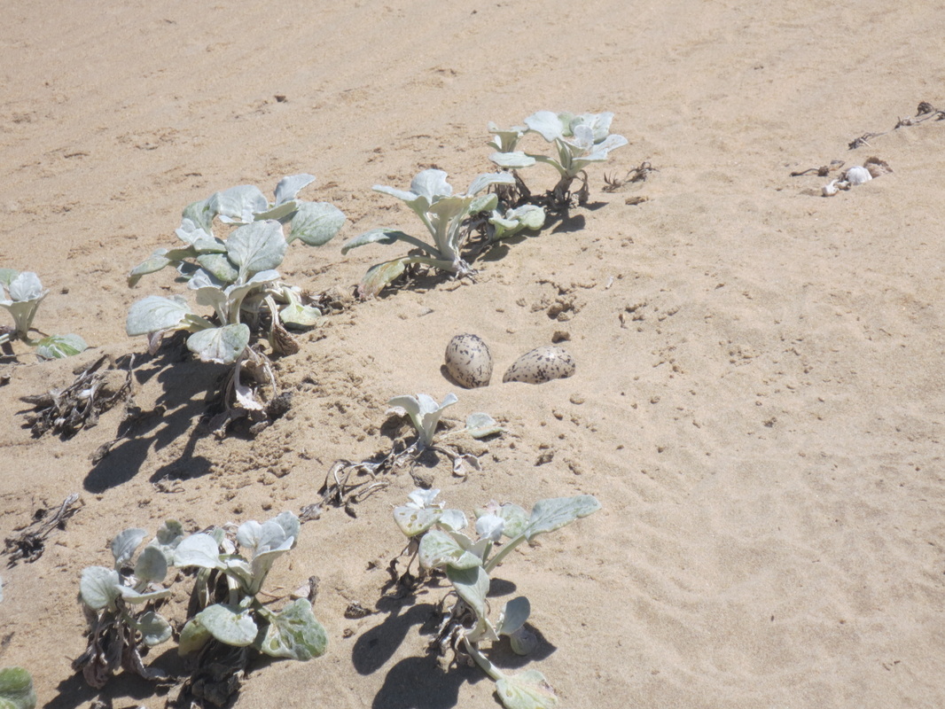
Throughout the trip, Willie told us about the traditional medicinal uses for the various plants we came across - or he explained the feeding habits of the varied bird life - that is when he wasn't walking straight up to nearly invisible oystercatcher nests (they lay their eggs in a little hollow in the sand), or pointing out pairs of wrestling snakes from 50 metres away. Chris, meanwhile, spoke about the efforts underway to stop people from feeding the dassies in Mossel Bay, and enthusiastically shared his knowledge of the flora & fauna in his own affable and good-natured way. Both of our guides were knowledgeable about the archaeological work in the area - and showed us numerous middens where seashells had been discarded by previous inhabitants, and where there was evidence of ancient stone tool use. Between the two of them, we were certainly in good hands.
Throughout the trip, Willie told us about the traditional medicinal uses for the various plants we came across - or he explained the feeding habits of the varied bird life - that is when he wasn't walking straight up to nearly invisible oystercatcher nests (they lay their eggs in a little hollow in the sand), or pointing out pairs of wrestling snakes from 50 metres away. Chris, meanwhile, spoke about the efforts underway to stop people from feeding the dassies in Mossel Bay, and enthusiastically shared his knowledge of the flora & fauna in his own affable and good-natured way. Both of our guides were knowledgeable about the archaeological work in the area - and showed us numerous middens where seashells had been discarded by previous inhabitants, and where there was evidence of ancient stone tool use. Between the two of them, we were certainly in good hands.
| 
|
As usual, I tracked our route with Sports-Tracker and snapped some photos along the way. My battery was draining pretty quickly so, with the exception of the last day, I split the tracking into two parts each day to ensure I didn't lose it all if the battery ended up dying. Click on any of the tracking images below to see the route details on Sports-Tracker, including photos - or go to the respective Flickr Sets for the photos themselves.
Day One - 12.36 km
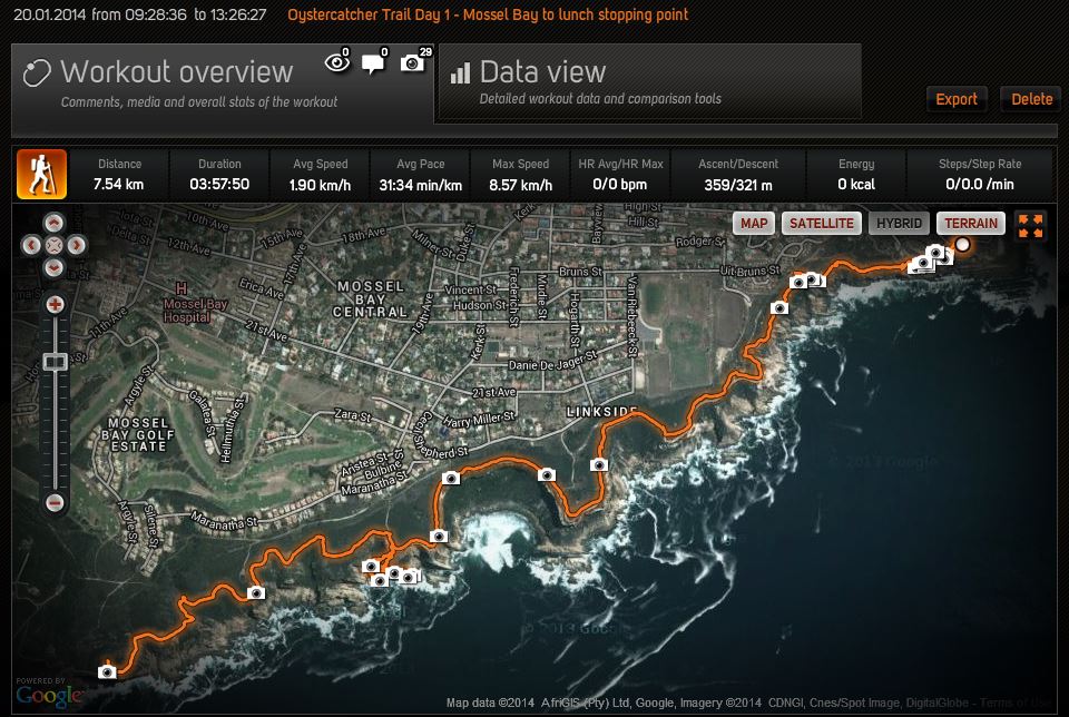
Day 1 - Part 1 - from the Point Hotel, past the Cape St. Blaize lighthouse and along the coast, down a steep section to see a cave before reaching our lunch spot (7.54 km).
| 
|
| 
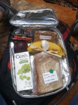
Lunch!
|
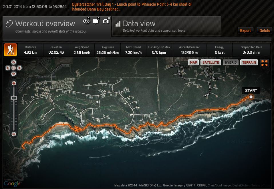
Day 1 - Part 2 - from our lunch spot to Pinnacle Point - with a meander through our first cave - that's the squiggly bit just in from the left. 4.82 km this section and 12.36 km for the day (about 4 km short of Dana Bay, our intended destination).
| 
|
| 
|
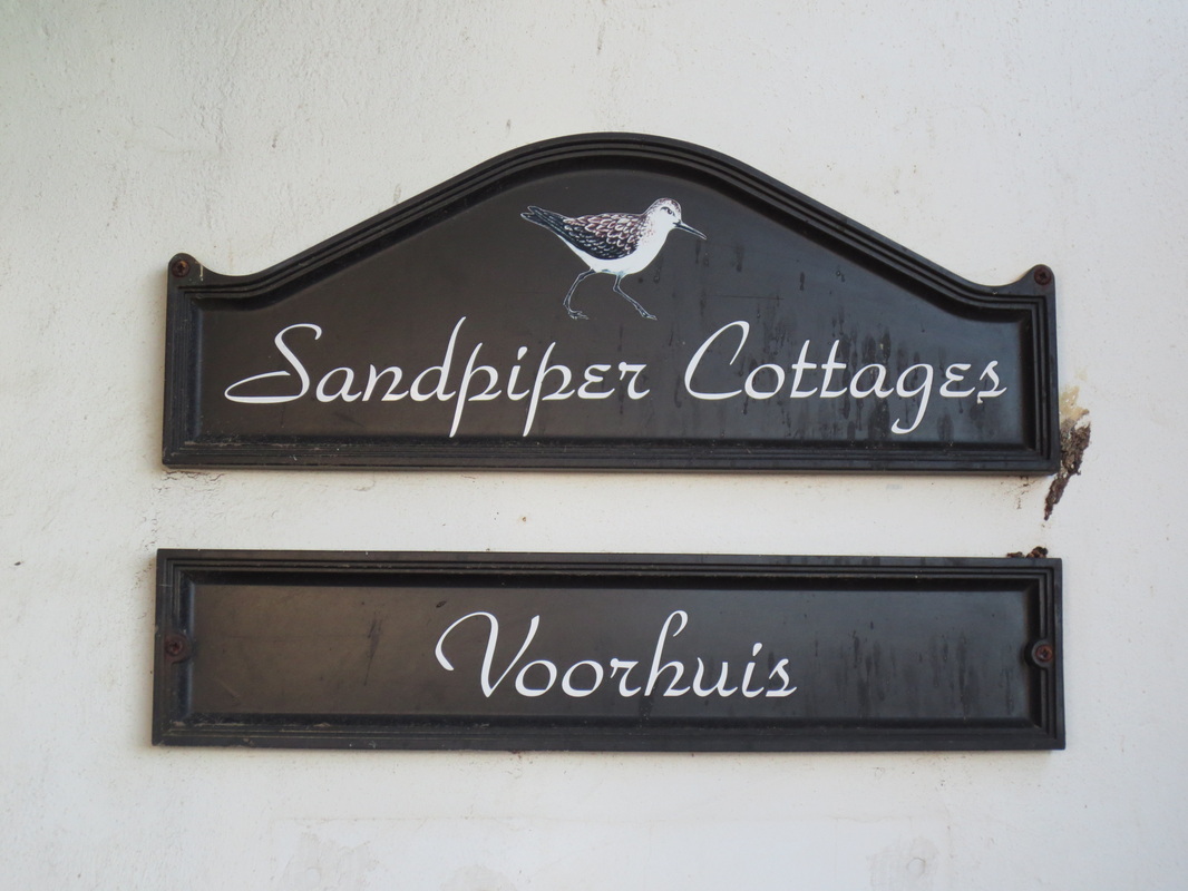
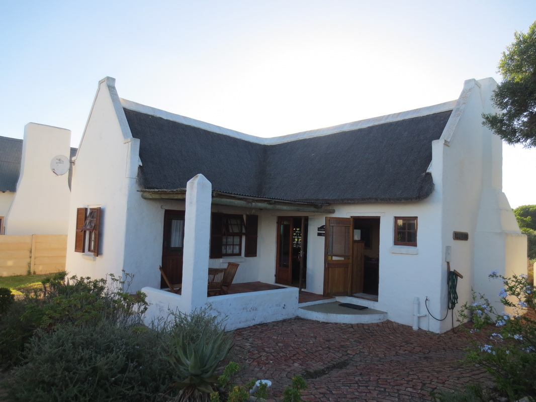
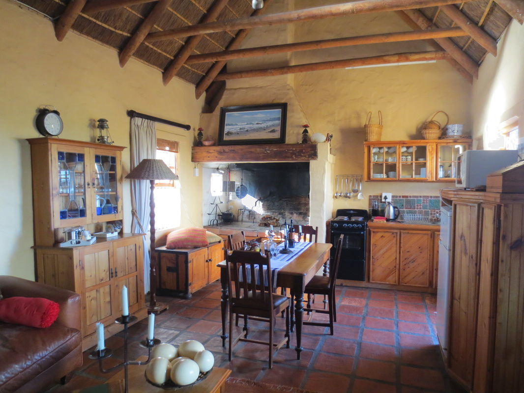
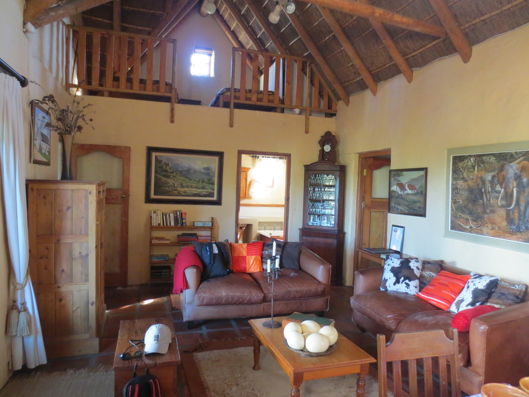
After a cool drink in the clubhouse, we were transported to Boggomsbaai where each couple (or family) was shown to their own charming & cosy Sandpiper Cottage, followed by a communal dinner & drinks at the Sandpiper Sports Centre.
| 
|
| 
|
| 
|
| 
|
Day Two - 16.37 km
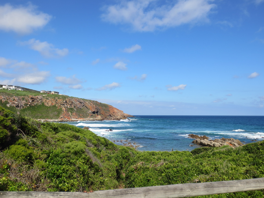
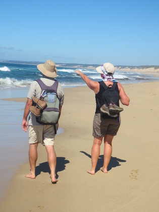
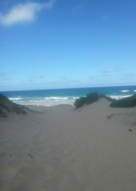
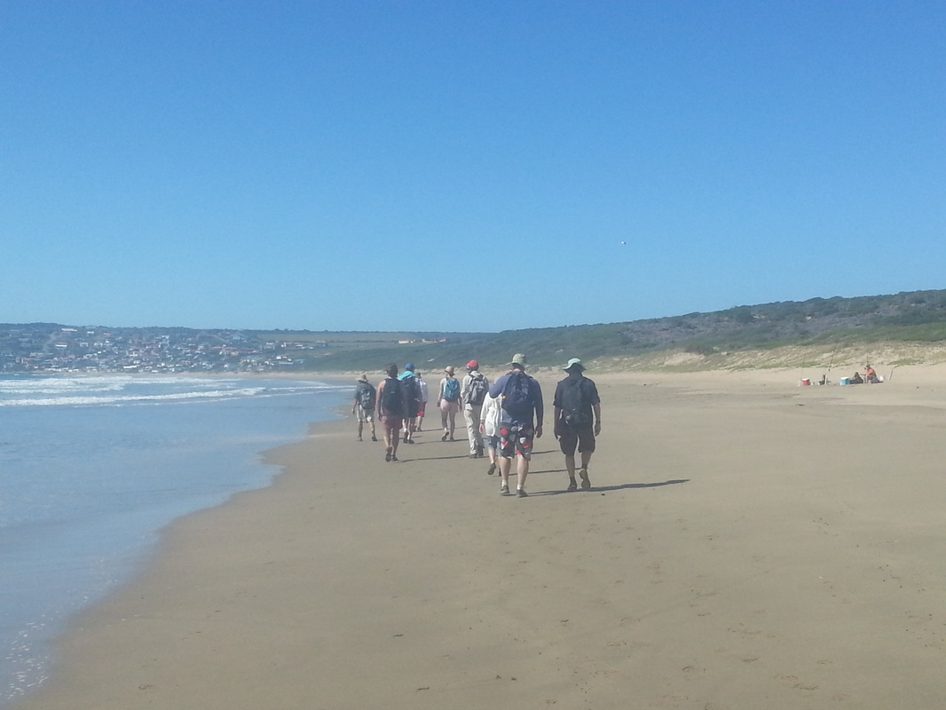
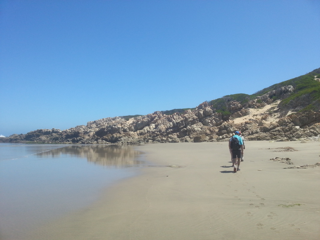
The next morning, we were back at it. First breakfast at 8:00, then at 9:00 we were whisked back to Dana Bay for the start of that day's hike which would see us walk along the entire crescent beach, returning to the Sandpiper in our bare feet. There was time for some great body surfing along the way and a dip in one of Willie's secret swimming holes. The water was a bit tea-coloured due to the recent run-off, but that didn't stop us - it was a welcome cool down from the unrelenting heat of the sun! And then, we spotted the dolphins...
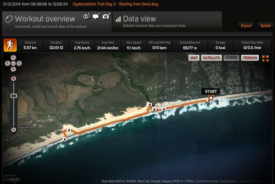
Day 2 - Part 1- from Dana Bay to the edge of Nautilus Bay (5.57 km)
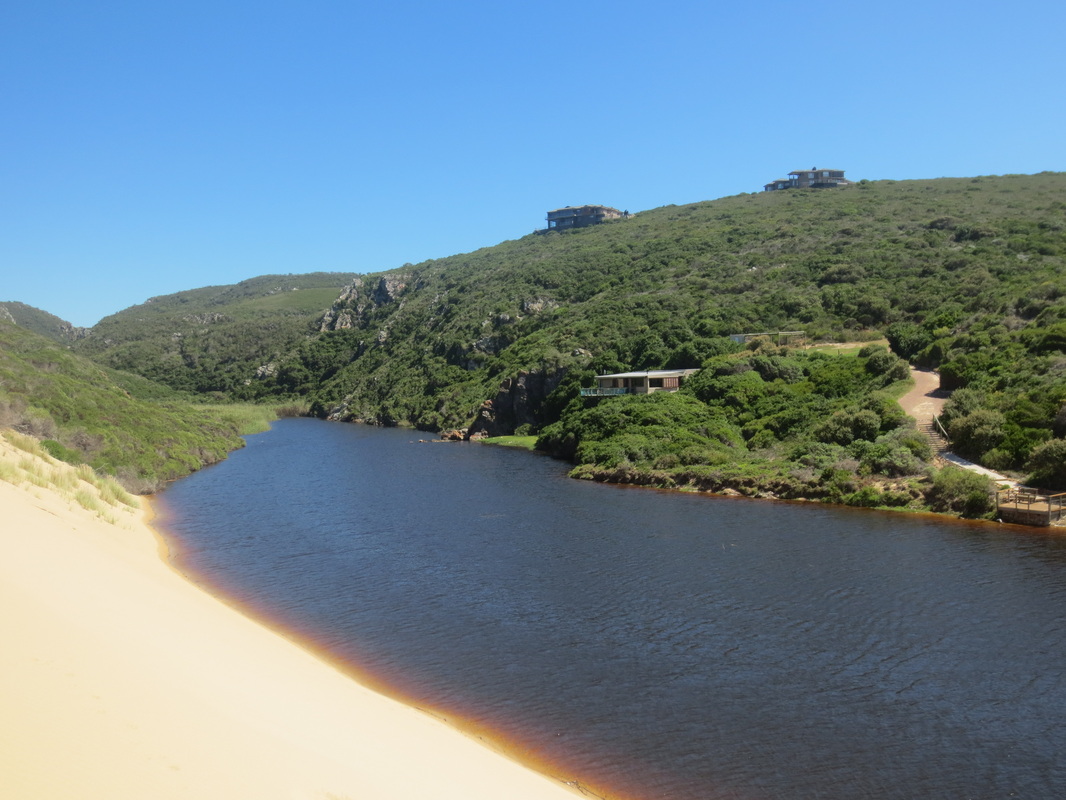
Our secret swimming hole!
The many middens along the route provoked a lot of discussion...
| 
Look, dolphins!
|

Day 2 - Part 2 - from Nautilus Bay to Boggomsbaai (10.8 km) and 16.37 km for the day.
| 
|
Once back, we showered before heading to Sandpiper Sports Centre for drinks and a bit of an archaeological appetizer as Fred Orban gave a run through of Curtis Marean's work at Pinnacle Point Caves, as well as a peak at Peter Nilssen's presentation before dinner.
Day Three - 20 km
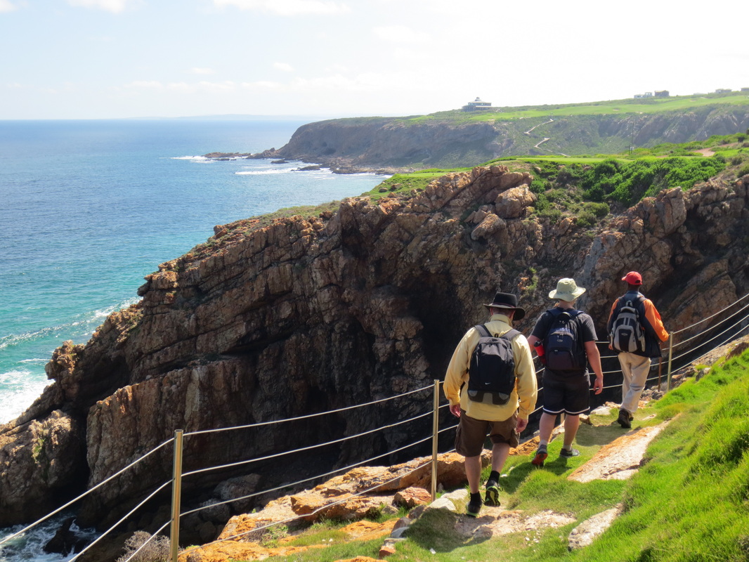
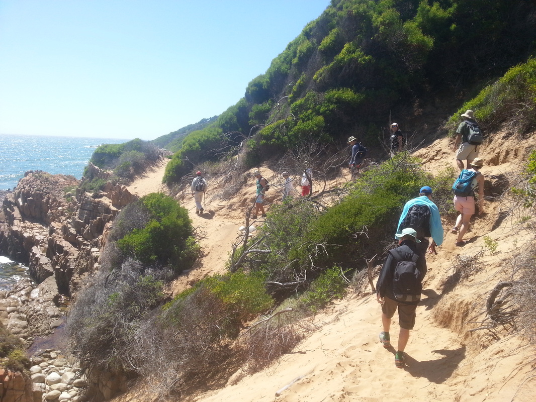
The next morning, we hiked from the Sandpiper Sports Centre, down to the beach and all along the coast, passing by Vleesbaai before stopping for lunch at Fransmanshoek - and you guessed it, more great body surfing (some were a bit thrown off by the sports angler attempting to reel in a shark on the nearby rocks, but I figured so long as the line remained taut, it meant there was one less shark to worry about!).
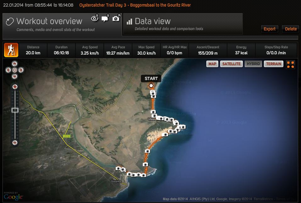
Day 3 - the big finale - from Boggomsbaai to the Gouritz River. 20 km on the dot.
| 
|
| 
|
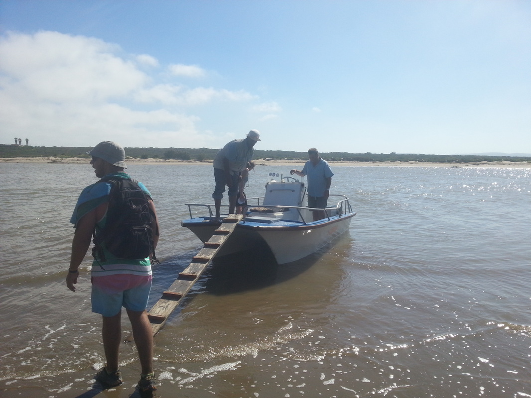
After lunch, we continued along the coast until we reached the Gouritz River where a boat ferried us to the other side where our transport back to Sandpiper was waiting.
| 
|
The home stretch...
| 
|
Day 3 was a long, hot day - even though some found it a bit gruelling, I think it was still everyone's favourite - it had a bit of everything: rocks to scramble atop of, beach walking, cartpaths in Karoo-style farmland near the Gouritz - you name it. It really was majestic.
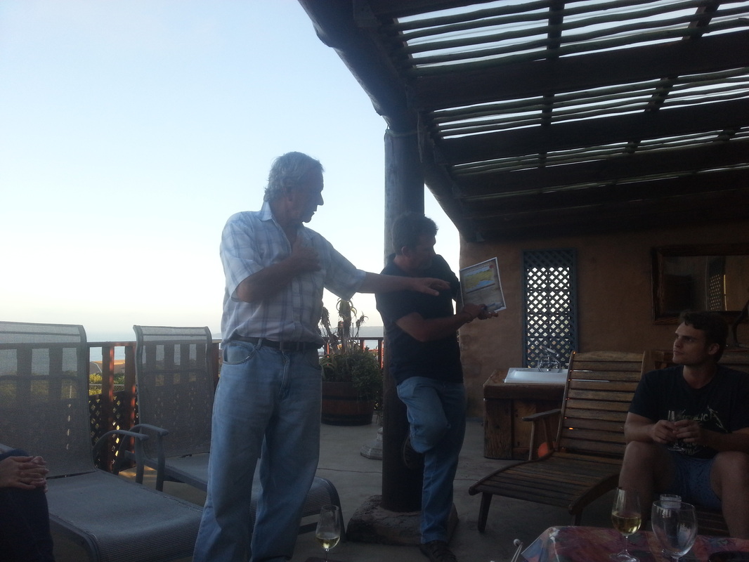
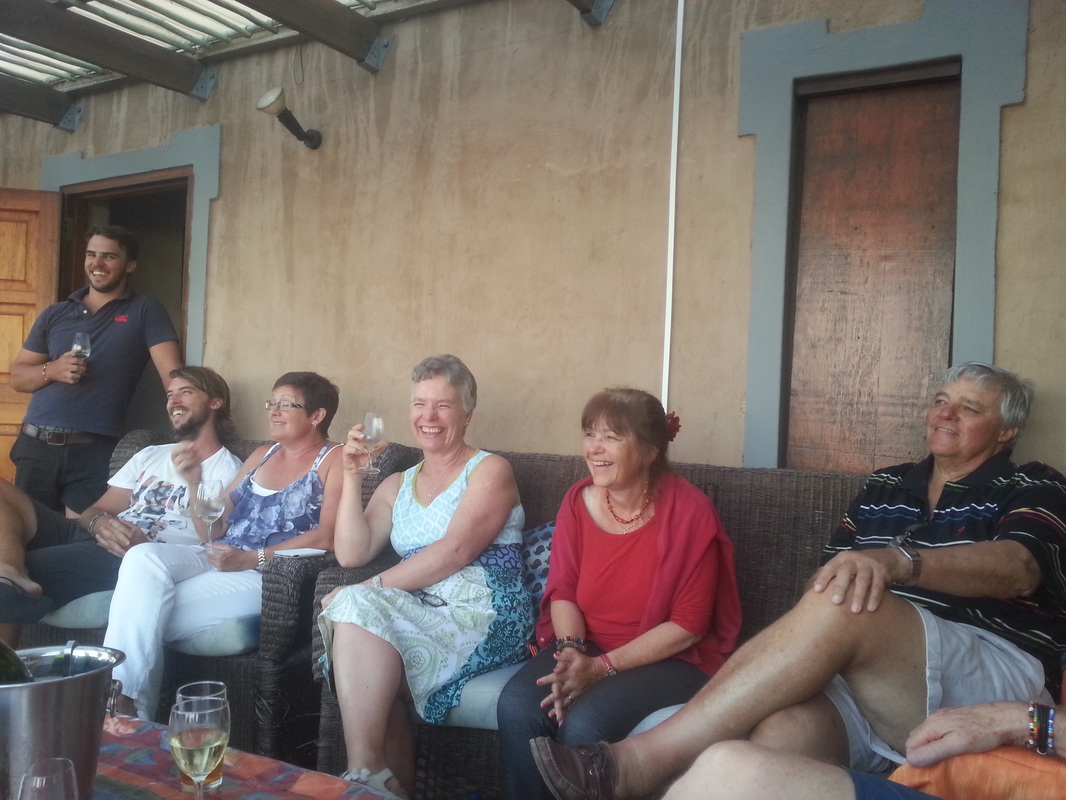
It was a great trip from beginning to end - and Fred kicked off the celebration by offering up couple big platters of oysters (from Munro's in Little Brak, of course!) and champagne during "prize giving", followed by dinner on our last night back at the Sandpiper Sports Centre.
| 
|
Thanks Fred, Willie, Chris, Annemarie and the rest of the Sandpiper/Oystercatcher team - as well as the other hikers (Blair, Jane, Gareth, Thomas, Liam, Rainer, Cherry, Mark & Katherine) - for making it such a fun and memorable trip!

