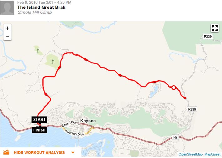
I had some spare time while the missus was golfing, so I decided to tackle the Simola Hill in preparation for the GRLite (it's part of the 1st stage, which will start at Quay Four). I parked in the open area near the Firefly Eating House (excellent when I've been, by the way), shortly after the turn off the highway. With a quick and discrete change in the car, I was on my way.
I did the road, instead of the single track (I think I noticed the start of that mid-way up - I presume it's where all the Garden Route Events MTB signage is...). Distance-wise, it's exactly 12 km to the very top, there you'll intersect with the paved R339. I had a date to keep, so turned around and came down the way I went up (I'm sure I won't be the first to say it was easier and quicker on the way back). I noticed guys in a couple of packs heading up as I was coming down - seems they parked just past the entrance to the Simola Golf Course (also recommended!), where the tar turns into gravel. Another option if you're looking for a shorter route with less climbing. I suppose my descent could have been a bit quicker from the GC downward - I was stuck behind a couple of out-of-province vehicle drivers who were insistent on doing less than the speed limit...
Click on the map below to visit www.sports-tracker.com to see the full route profile.