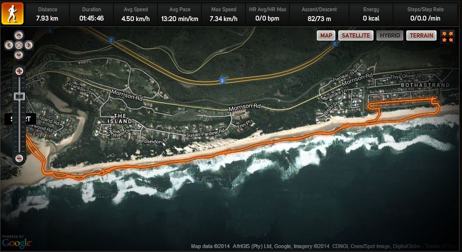
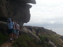
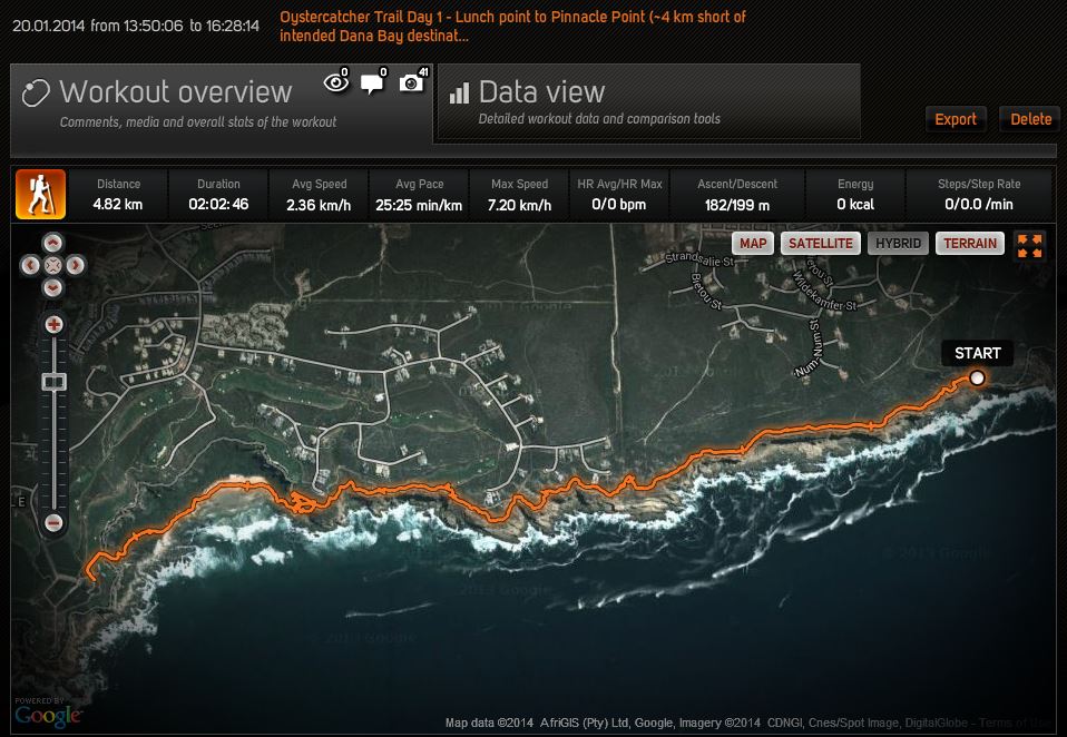
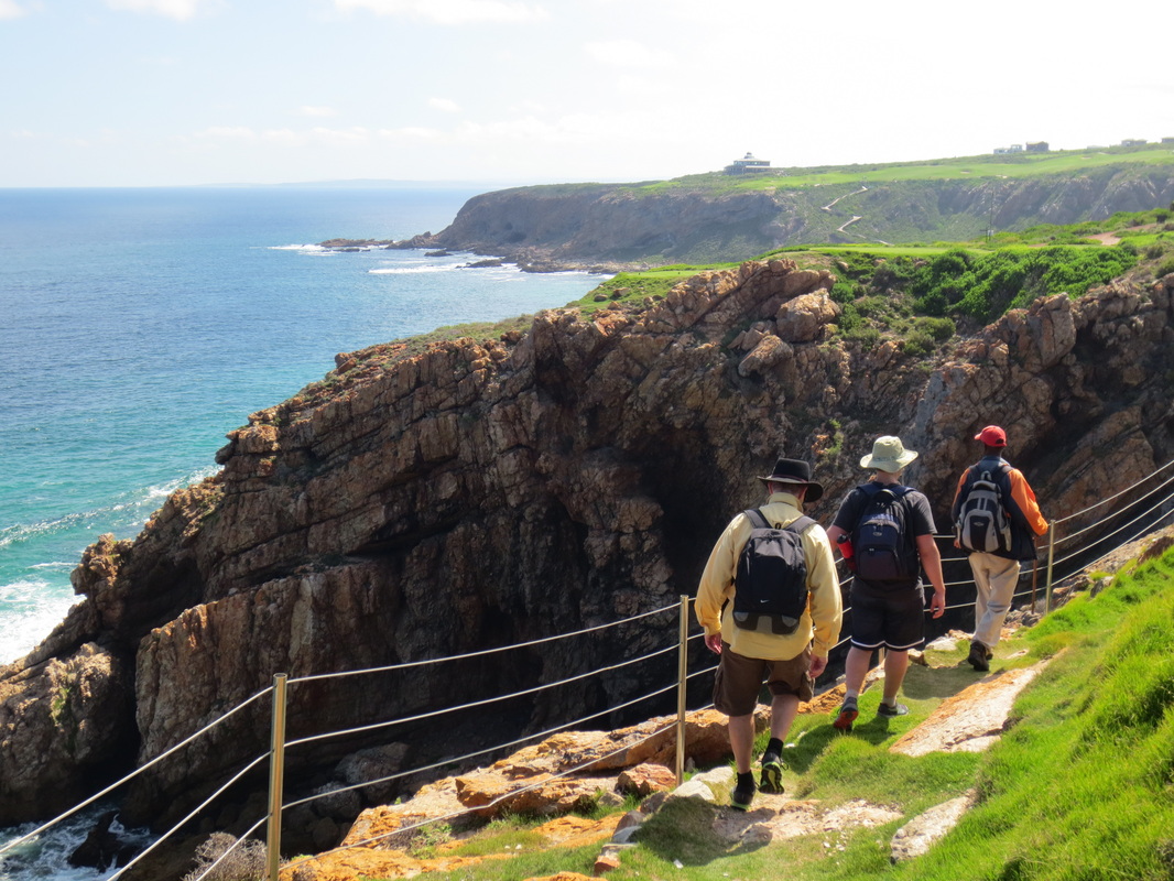
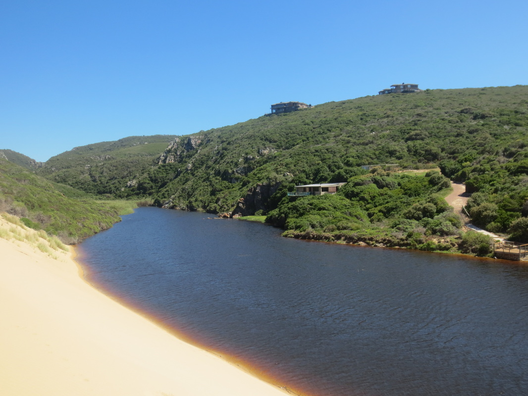
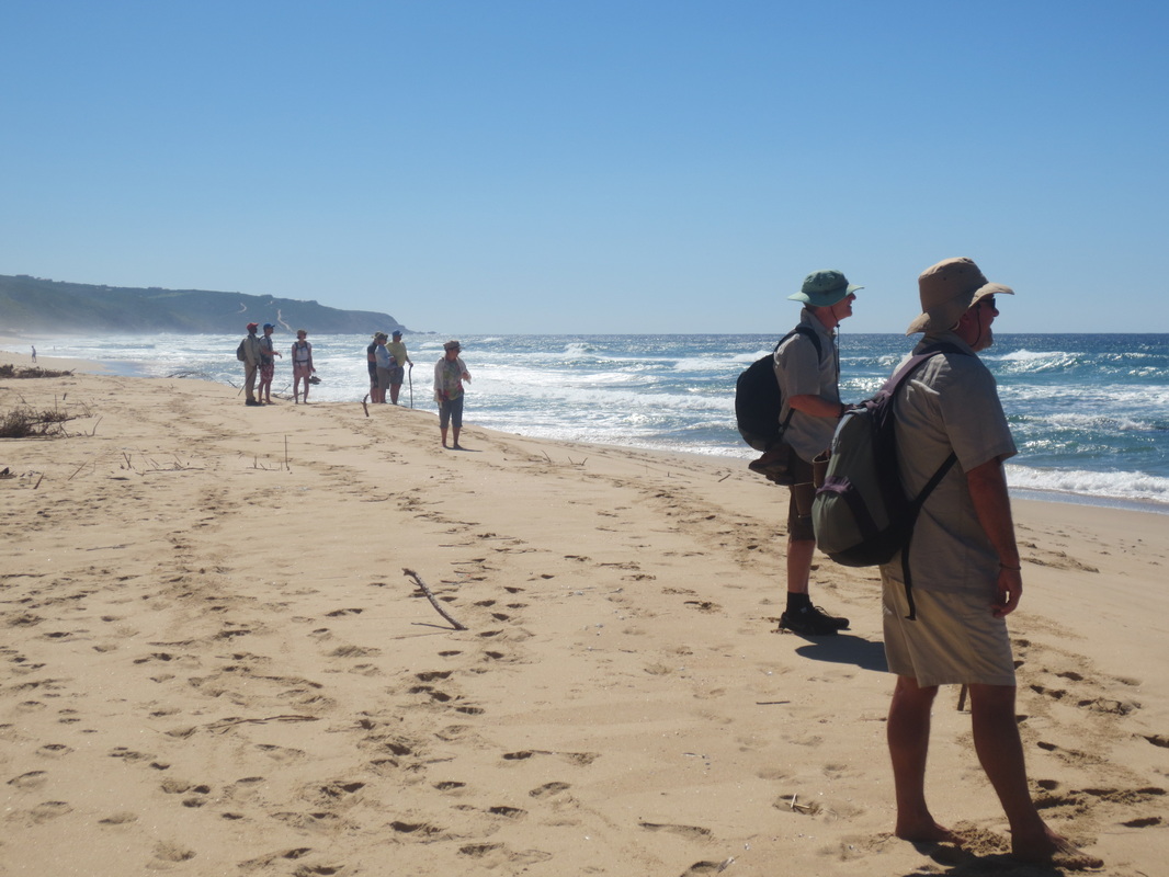
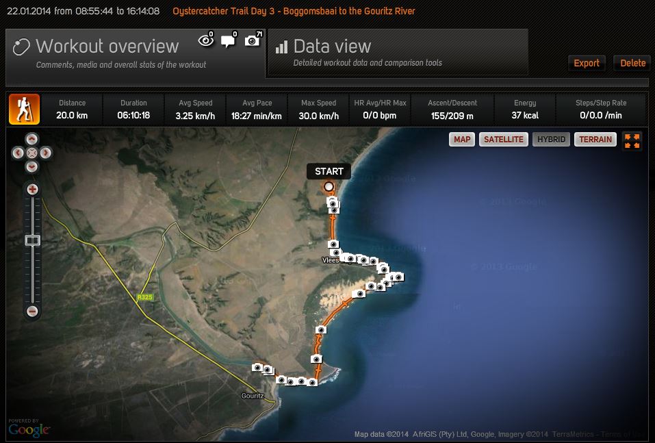
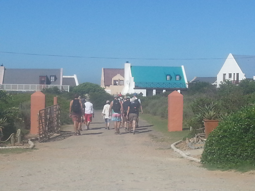
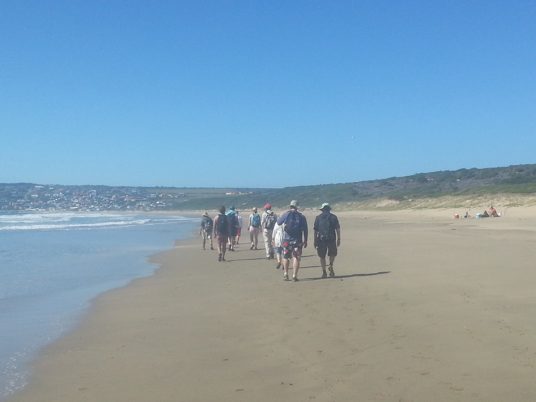
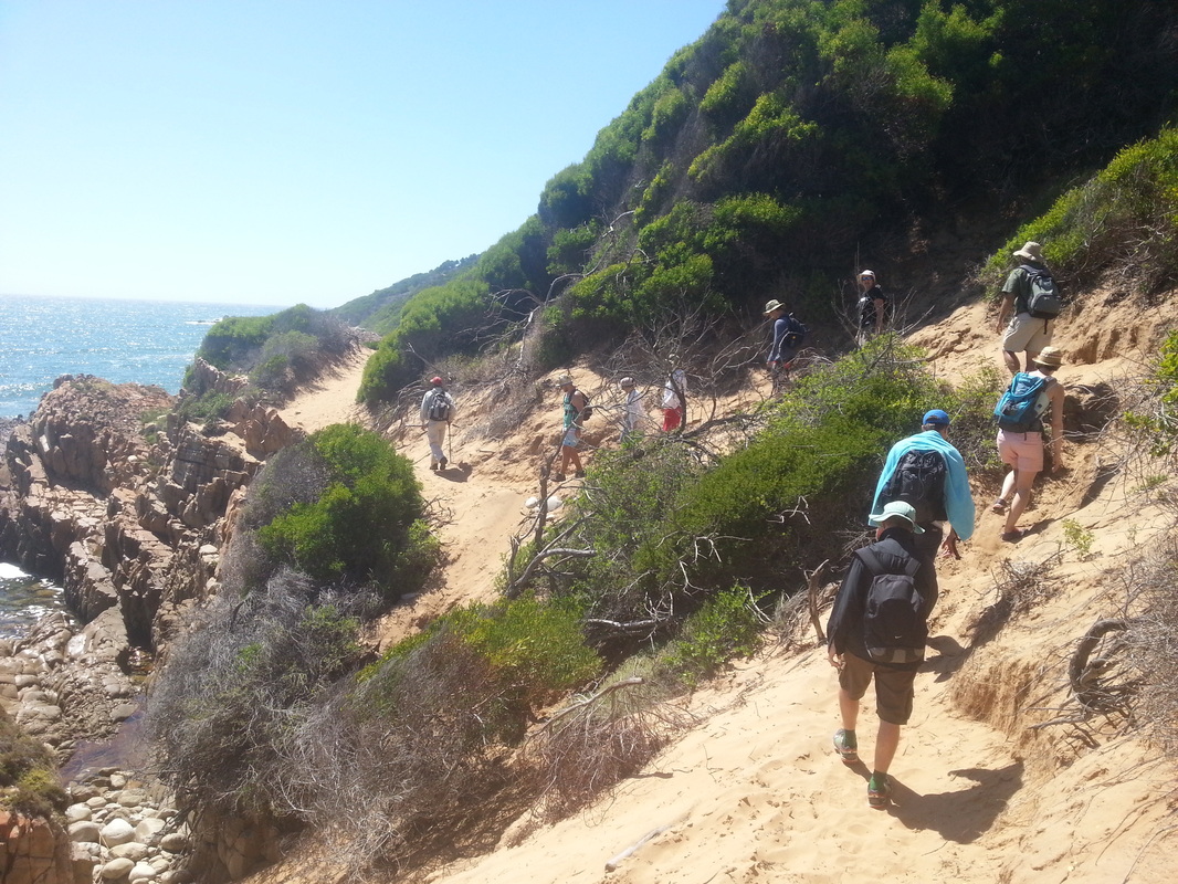
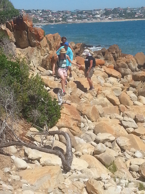
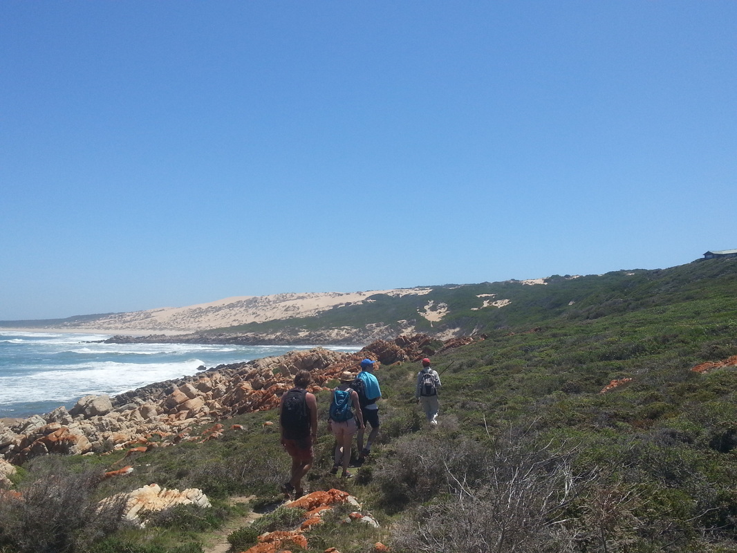
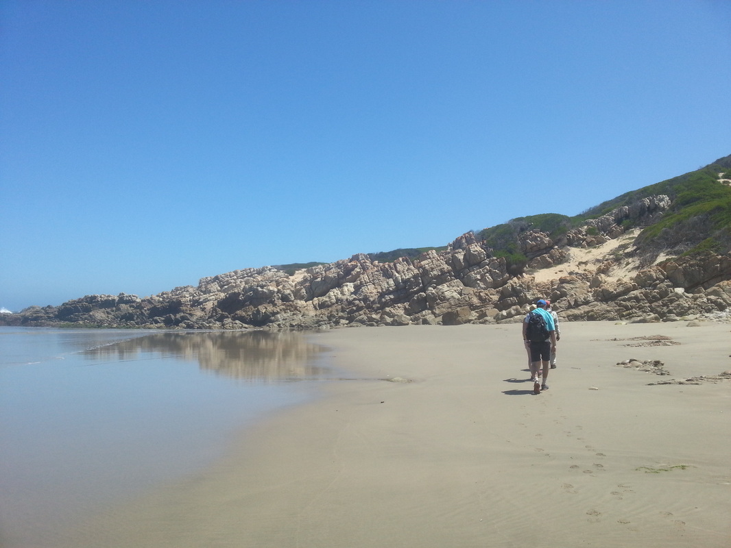
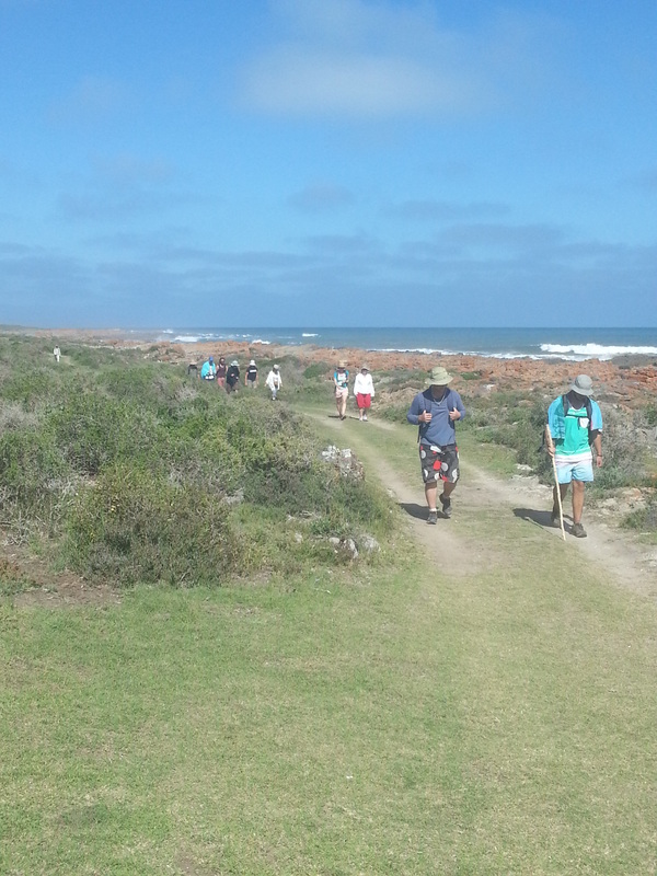
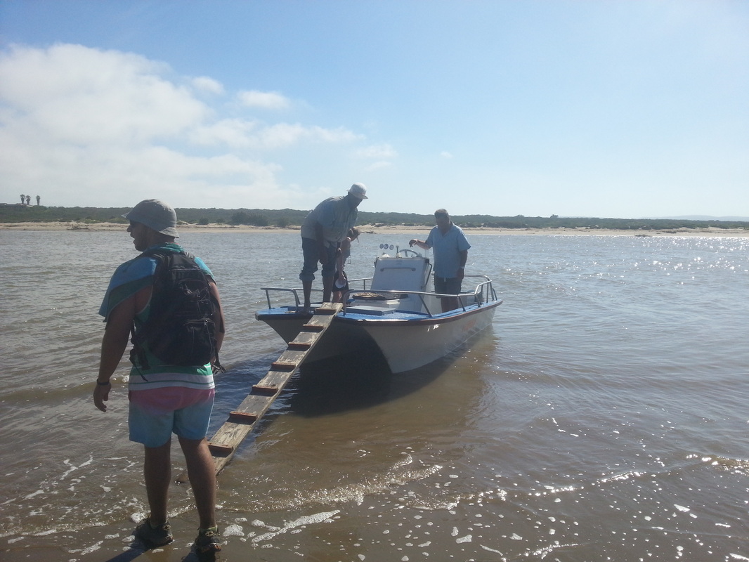
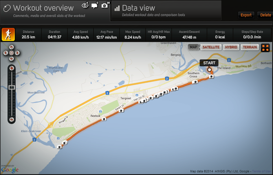
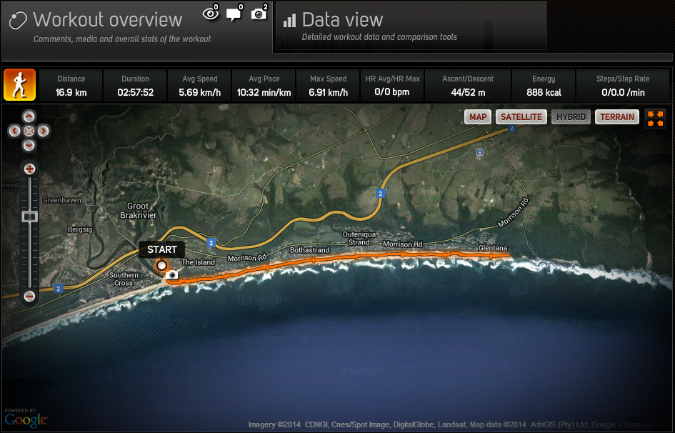
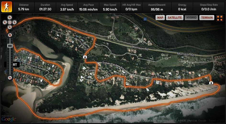
High tide made it a bit difficult to cross the river and take the Vishoek Trail, so instead, we did what I like to call "the Reverse Hersham". ;>) So, after a quick tour around The Island it's over the bridge and up the hill and through Hersham before walking down the stairs and back along the beach. By the time we got back to the river mouth we were able to find a spot to cross without getting more than the tips of our toes wet. Just in time for a sundowner!
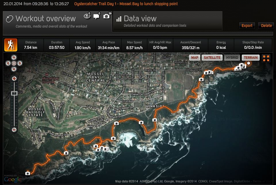
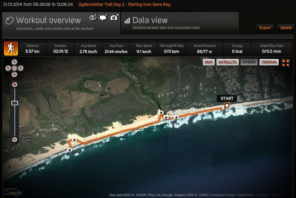
Click on the link before for the full work-out details on Sports-Tracker.com
Click on the link before for the full work-out details on Sports-Tracker.com
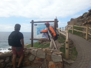
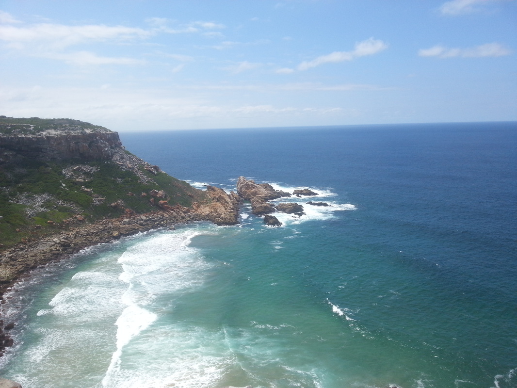
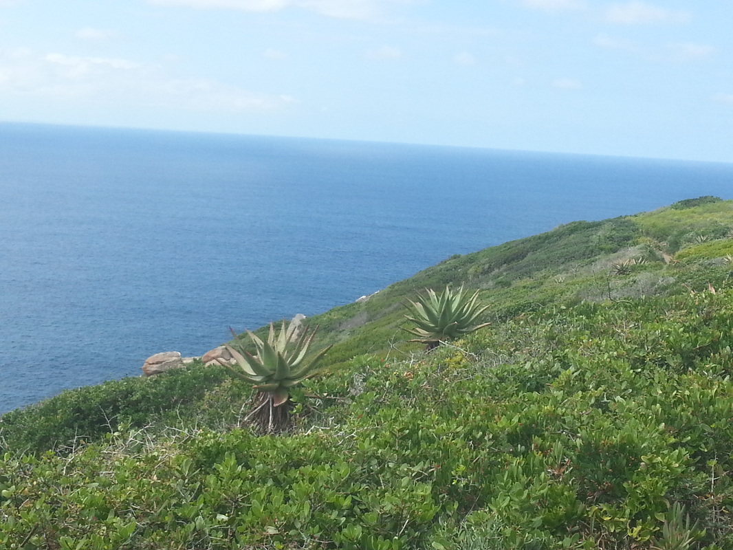
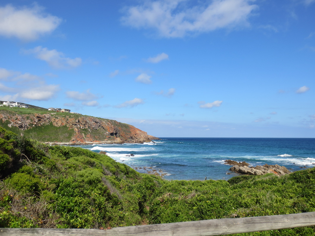
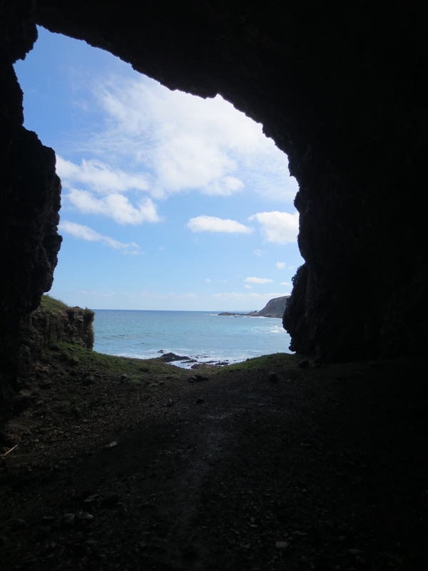
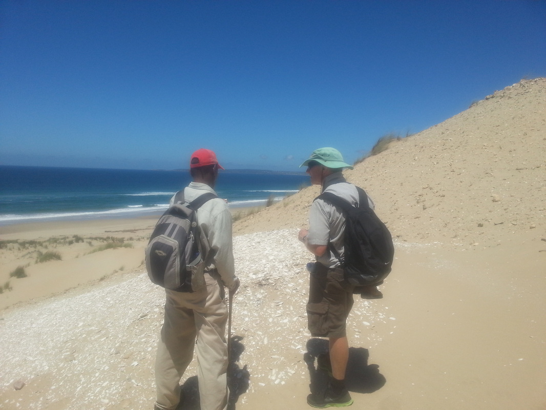
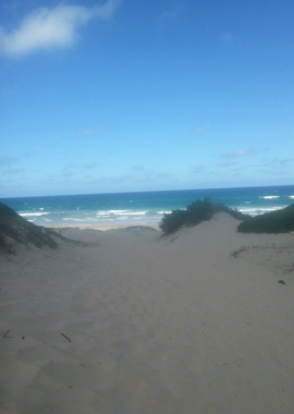
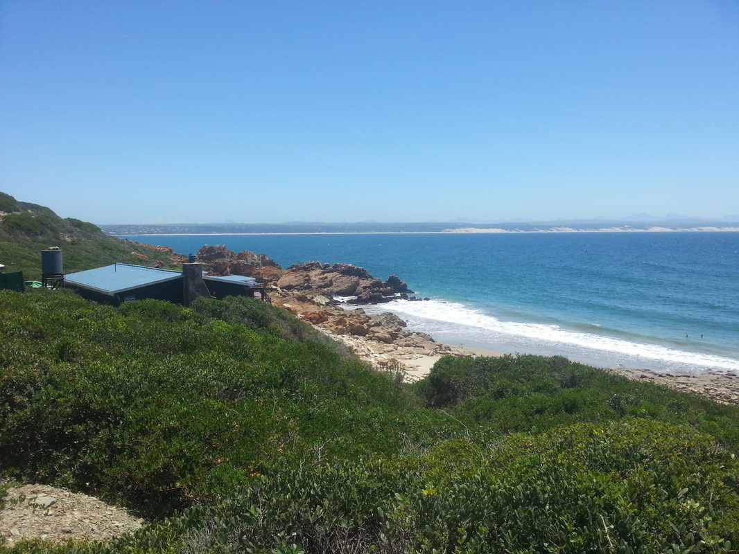
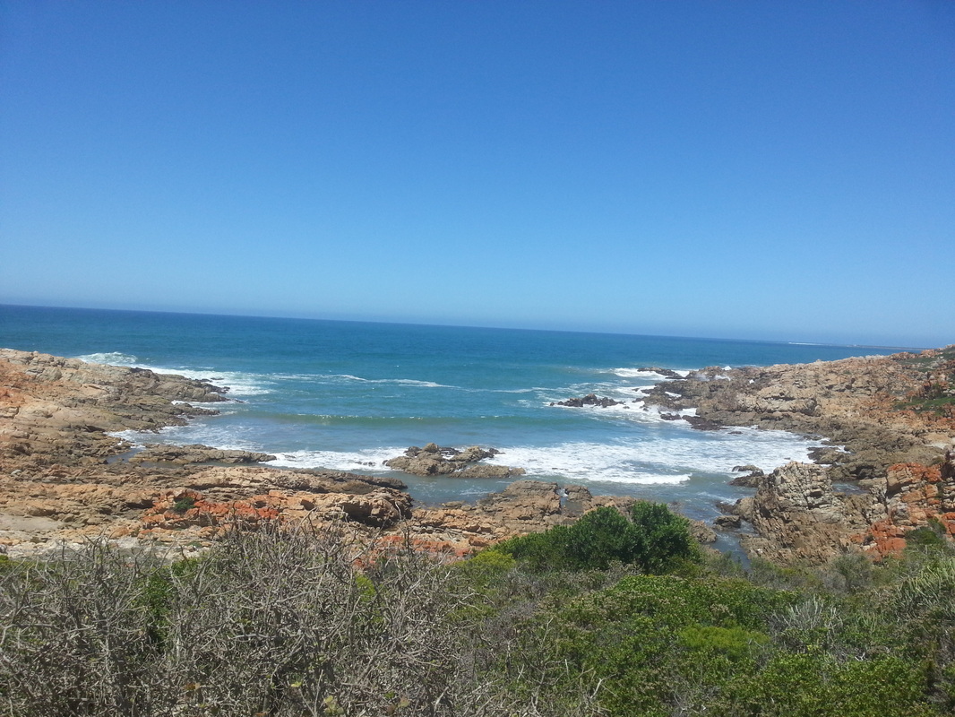
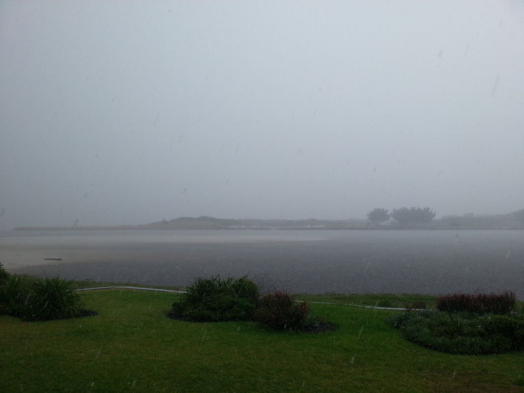
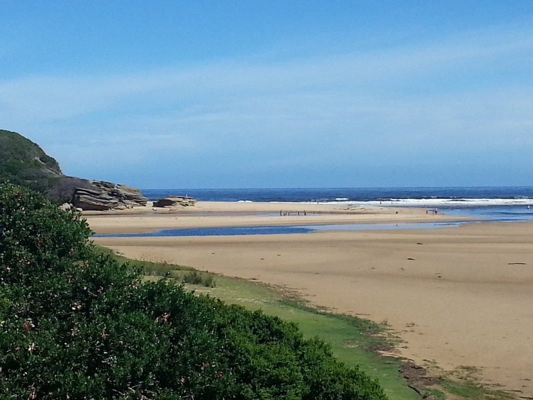
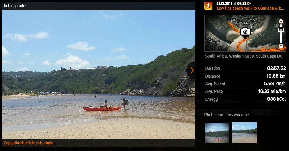
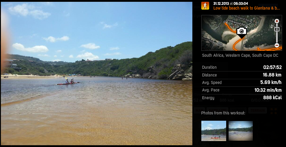
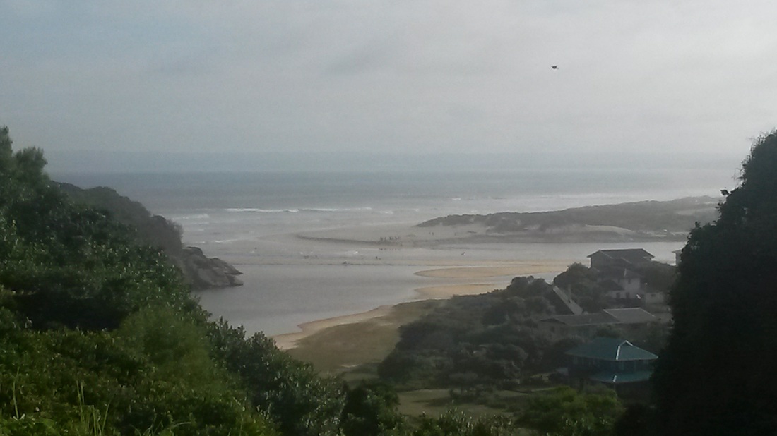 Looking out over The Island towards the river mouth and the Southern Cross dune from the top of Hersham | 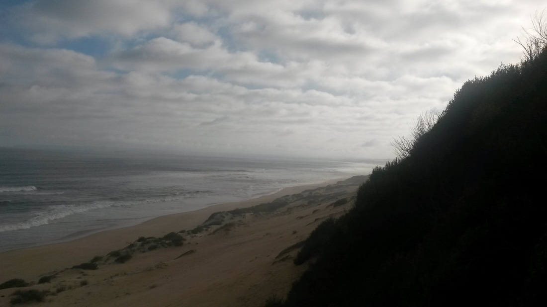 Looking through the clouds towards Mossel Bay from midway down the stairs at Hersham |